前端~三维地图(cesium)地图遮罩蒙层
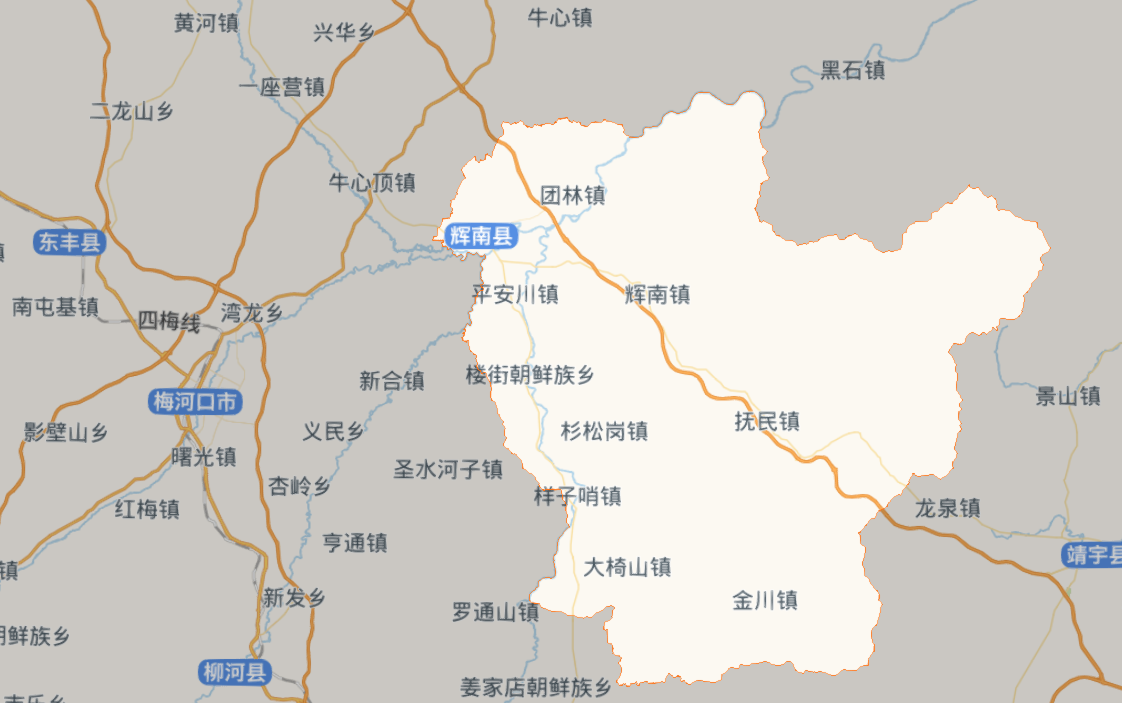
前提遮当通过geoJson行政区划边界以外的区域,主体突出行政区划范围,效果如下,相当去在一个比较大的黑色区域内挖出一个另外一个区域
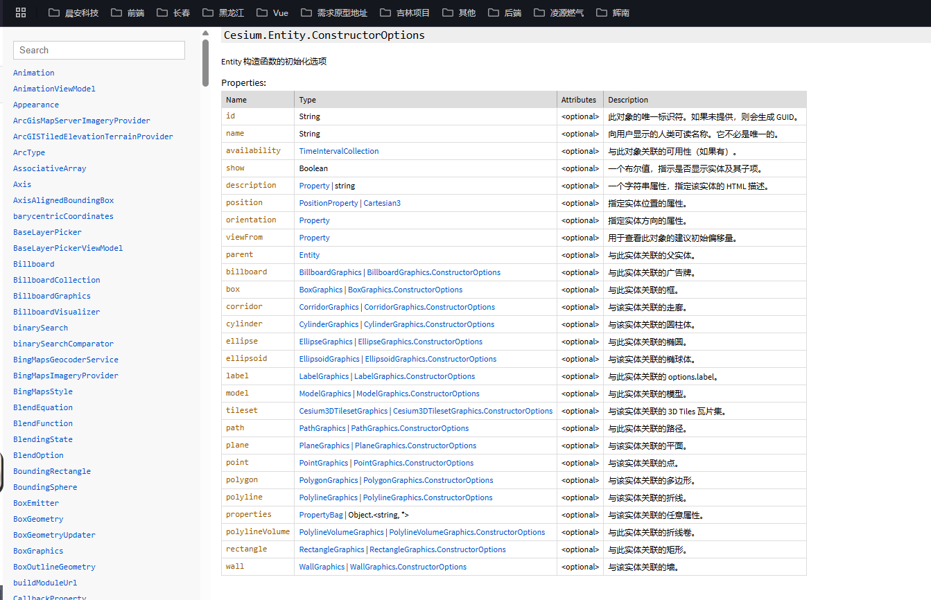
具体相关API
代码实现逻辑
tips: 网上是通过geoJson 遍历获取所有行政区划的点位,但是这里已经加载了行政区划,无需再次加载,而且通过dataSource也可以遍历所有的点位,是一样的道理。
- 通过阿里云地理数据获取行政区划 geoJson 行政区划边界
- 通过cesium GeoJsonDataSource 加载行政区划边界,并设置边界样式
- 通过 GeoJsonDataSource 获取已经选中的行政区划边界点位
- 遮罩蒙层设置
第一种实现逻辑
// 加载行政区划边界
const geoBorderDataSource = new Cesium.GeoJsonDataSource()
const datasource = await geoBorderDataSource.load(`${BaseUrl}geoData/huinan_geo.json`, {stroke: Cesium.Color.fromCssColorString('#fb7014'),fill: Cesium.Color.fromAlpha(Cesium.Color.WHITE, 0),strokeWidth: 5.0})
await this.viewer.dataSources.add(datasource)
// 通过datasource 获取点位
const polygonPoints: Cesium.Cartesian3[] = []datasource.entities.values.forEach((entity) => {if (entity.polygon) {const hierarchy = entity.polygon.hierarchy.getValue(Cesium.JulianDate.now())if (hierarchy) {const positions = hierarchy.positionspolygonPoints.push(...positions)}}})
// 蒙层遮罩
this.viewer.entities.add({polygon: {hierarchy: new PolygonHierarchy(Cesium.Cartesian3.fromDegreesArray([100, 0, 100, 89, 160, 89, 160, 0]),[new PolygonHierarchy(polygonPoints)]),// 这里是网上的写法,虽然也能实现,但是API升级之后写法有些许变化// hierarchy: {//   positions: Cesium.Cartesian3.fromDegreesArray([100, 0, 100, 89, 160, 89, 160, 0]), //外部区域//   holes: [//     {//       positions: polygonPoints//     }//   ]// },material: Cesium.Color.BLACK.withAlpha(0.2)}})